
 Here are the details of maps for Baildon:

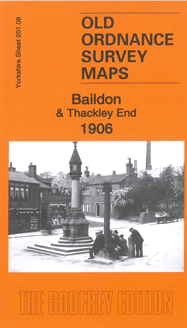
This detailed map covers the village of Baildon, in the NW corner, and extends eastward and southward to Thackley End.
Features include village centre of Baildon with individual buildings neatly shown, St John's church, Baildon Hall, Low Baildon, Ferniehurst, Baildon Wood Bottom, Charlestown Cemetery, Airedale Iron Works, Shipley & Guiseley Branch with Baildon station, River Aire, Leeds & Liverpool Canal, Midland Railway, Buck Mill, Ford House Farm, St James Place, Brackendale Mills, GNR Shipley Branch with Thackley station (at E edge of map), tramways, etc
The map links up with sheets 201.07 Shipley Glen to the west, 201.12 Shipley Wrose to the south and 202.05 Apperley Bridge to the east.