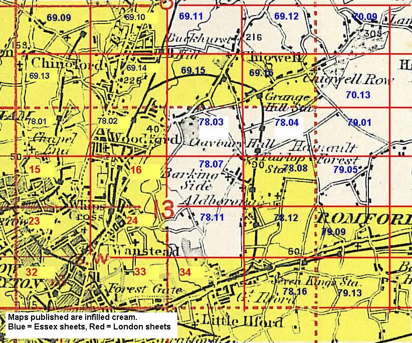
Old Ordnance Survey Maps of Redbridge
We have quite good coverage for the London Borough of Redbridge, which was formed in 1965 from the Municipal Boroughs of Ilford, and Wanstead & Woodford, plus small portions of the Borough of Dagenham and Urban District of Chigwell, and transferred from Essex to Greater London. The area includes maps
from both our London and Essex series, which link up with each other. All maps are available from our On-line Mapshop.
The following titles are all taken from the OS 25" maps and reduced to a scale of approximately 14 inches to the mile.
Each covers an area of a mile and a half by one mile, and includes an introduction.
 These are the principal maps for Redbridge in our London series:
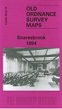
16a Snaresbrook 1894 - published 1998; intro by Alan Godfrey
16b Snaresbrook 1939 - published 2016; intro by Isobel Watson
24a Wanstead 1894 - published 2007; intro by Tony Clifford
24b Wanstead 1915 - published 1992; intro by Isobel Watson
33a Wanstead Flats 1893 - published 1986; intro by Janice Brooker
33b Wanstead Flats 1915 - published 1992; intro by Isobel Watson
34a Ilford 1894 - published 1992; intro by Stephen Pewsey
34b Ilford 1938 - published 2017; intro by Alan Godfrey
 These are the principal maps for Redbridge in our Essex series:
69.10n Buckhurst Hill 1914 - published 2000; intro by Alan Godfrey
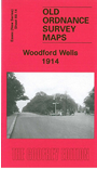
69.14n Woodford Wells 1914 - published 2008; intro by Alan Godfrey
69.15n Chigwell Station 1914 - published 2005; intro by Tony Cliffrord
69.16n Chigwell Row & Grange Hill 1914 - published 2004; intro by Tony Clifford
78.02n Woodford 1915 - published 2008; intro by Alan Godfrey
78.07n Barkingside 1939 - published 2017; intro by Alan Godfrey
78.08n Aldborough Hatch 1914 - published 1999; intro by Alan Godfrey
78.11n Gants Hill & Valentines Park 1939 - published 2017; intro by Alan Godfrey
78.12n Newbury Park & Seven Kings 1914 - published 1999; intro by Tony Clifford
78.16n Goodmayes 1915 - published 1998; intro by Tony Clifford
 79.09n Chadwell Heath 1914 - published 1993; intro by Tony Clifford
Earlier Essex sheets were on somewhat different sheetlines:
74.01 Seven Kings 1894 - published 1995; intro by Tony Clifford. ISBN.978-0-85054-711-5
 Most maps in the Godfrey Edition are taken from the 25 inch to the mile map and reduced to about 15 inches to the mile.
For a full list of English maps, return to the England page
You can order maps direct from our On-line Mapshop.
Most maps in the Godfrey Edition are taken from the 25 inch to the mile map and reduced to about 15 inches to the mile.
For a full list of English maps, return to the England page
You can order maps direct from our On-line Mapshop.
Alan Godfrey Maps, Prospect Business Park, Leadgate, Consett, DH8 7PW. Tel 01207 583388
The Godfrey Edition / sales@alangodfreymaps.co.uk / 21 Sept 2017