
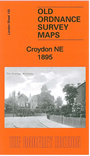
 Here are the details of maps for NE Croydon :

This detailed map covers the NE area of Croydon and extends to Woodside.
Features include complicated railway junctions between Norwood Fork Junction, Selhurst Junction and Windmill Bridge Junction, also Mid Kent line with Woodside and Addiscombe Road stations, Beckenham Golf Course, Shirley Lodge, Woodside Green, St Luke's church, convent, Crystal Palace fireworks manufactory, Holy Trinity church, nurseries, steam joinery works, Royal Masonic Benevolent Institution, etc. We include extracts from a 1934 street directory on the reverse.
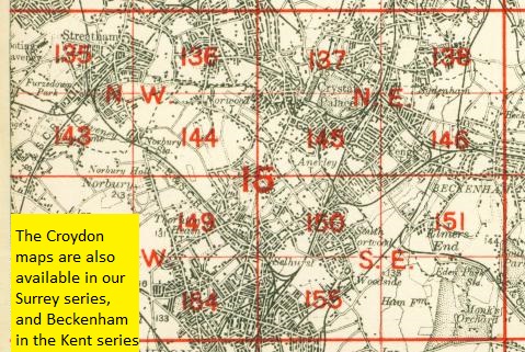
The map links up with London sheets 150 South Norwood to the north, 154 Croydon NE to the west. Other maps are available in our Surrey series.
 Follow this link for a complete list of our London maps .