
 Here are the details of maps for Leytonstone:

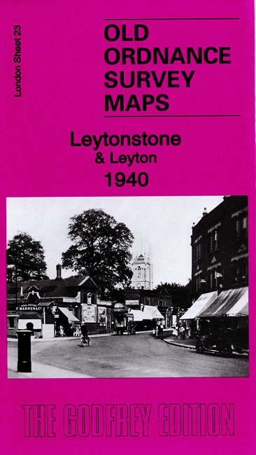
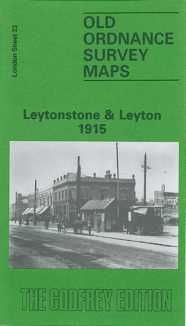
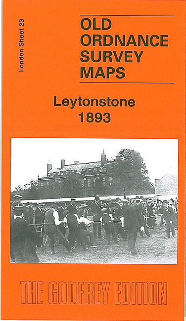
We have published three versions of this detailed map, showing how the area developed across the years.
The maps cover an area stretching from Manor Road and Lea Hall Road eastward to Poppleton Road and St John the Baptist's church; from Grove Road southward to Grove Green Road. They cover much of Leytonstone and also part of north Leyton.
Features (taken from the 1915 version) include a stretch of the MR Tottenham & Forest Gate railway, incl Leyton station; Leyton cricket ground, tramways, Kinematagraph studio, Knotts Green, West Ham Union Infirmary, a short stretch of the GER Epping line incl Leytonstone station, Forest House and the fringe of Epping Forest. Churches include St John the Baptist's High Road, St Catherine's, St Stephen's Grove Road etc. Streets include Hainault Road, Hoe Street, High Road, Peterborough Road and many more.
Each map includes extracts from an early directory together with a specially written introduction to the history of the area.
The map links up with Sheets 15 Walthamstow East to the north, 22 Walthamstow Marshes to the west, 24 Wanstead to the east, 32 Leyton to the south.