Old Ordnance Survey Maps of Leicestershire

  • These detailed maps normally cover an area of about one and a half miles by one mile. Each map includes an introduction.
  • They are available through our On-line Mapshop

  • Here are the details of maps for Kegworth:

  • Leicestershire 10.02 Kegworth 1899 - published 2023; intro by Barrie Trinder. ISBN.978-1-78721-639-6

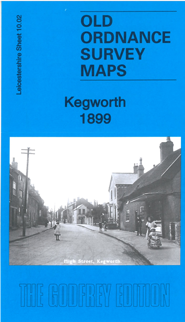
    This detailed map gives very good coverage of Kegworth. It is double-sided for maximum coverage and includes part of adjacent sheet 10.06.

    Features include the town centre with individual buildings neatly shown, St Andrew's church, brewery, plaster mills, Bridge Fields, River Soar, The Lodge, Slade House, The Wymeshead etc. We also include a specially written introduction to the history of the area.

  • The map links up with sheet 10.01 Castle Donington.
  • Follow this link for a full list of our Leicestershire maps. For other information and prices, and other areas, go to The Index Page.
  • Maps in the Godfrey Edition are taken from the 25 inch to the mile map and reduced to about 15 inches to the mile. For a full list of maps for England, return to the England page.
    The Godfrey Edition / sales@alangodfreymaps.co.uk / 25 August 2023