Old Ordnance Survey Maps of Leicestershire

  • These detailed maps normally cover an area of about one and a half miles by one mile. Each map includes an introduction.
  • They are available through our On-line Mapshop

  • Here are the details of maps for Castle Donington:

  • Leicestershire 10.01 Castle Donington 1901 - published 2023; intro by Barrie Trinder. ISBN.978-1-78721-638-9

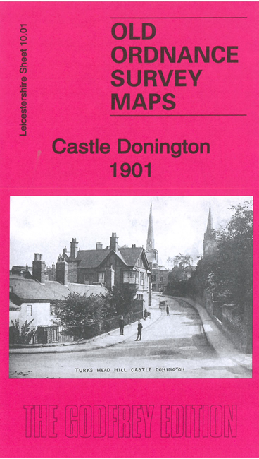
    This detailed map gives very good coverage of Castle Donington. It also includes Hemington and part of Lockington.

    Features include the town centre with individual buildings neatly shown, St Luke's church, Castle Hill, Hosiery Mill, etc. Coverage extends eastward to St Nichola church Lockington. On the reverse there is a directory of Castle Donington in 1891. We also include a specially written introduction to the history of the area.

  • The map links up with sheet 10.02 Kegworth.
  • Follow this link for a full list of our Leicestershire maps. For other information and prices, and other areas, go to The Index Page.
  • Maps in the Godfrey Edition are taken from the 25 inch to the mile map and reduced to about 15 inches to the mile. For a full list of maps for England, return to the England page.
    The Godfrey Edition / sales@alangodfreymaps.co.uk / 25 August 2023