
 Here are the details of maps for Hornchurch:

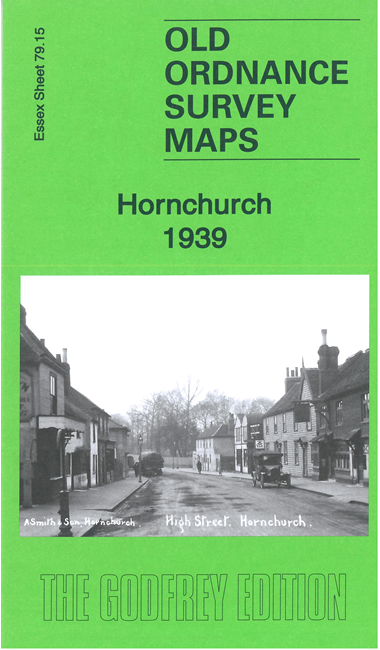
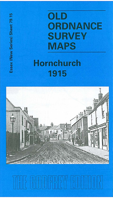
We have published two versions of this map, showing how the area changed across the years.
The maps have Hornchurch High Street in the NE; the sheetlines are not very kind and so Church Street is cut off by the margins, and the church itself beyond the map; but coverage continues south along Station Road to Hornchurch station and west to Rainham Road. It therefore really covers the western part of a town which in 1886 was called "one of the quaintest towns one could wish to see, with its straggling streets...and its general disregard for the amenities of locomotion".
It still remained much the same in 1915, and west of the town this map portrays a rural landscape. Station Road, Abbs Cross Road, Hornchurch Road, Rainham Road are the principal roads crossing the map, each with just a handful of buildings. By 1939, however, large housing estates, mostly of semi-detached houses but with some terraces, were being built across the map, including part of Elm Park. The two introductions chronicle these developments.
Since 1965 Hornchurch has been in the London Borough of Havering.
The map links up with Essex Sheet 79.11 Heath Park to the north, 79.14 Rush Green to the west, 79.16 Upminster to the east.