
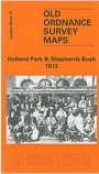
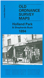
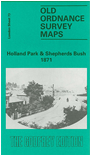
 Here are the details of maps for Kensington (W) & Shepherds Bush:

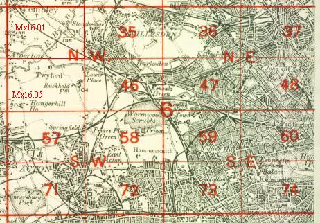
We have published three versions of this map, showing how the area developed across the years. The maps each cover the same area, stretching from Iffley Road, Hammersmith eastward to Phillimore Gardens, Kensington; and from Royal Crescent and the Uxbridge Road southward to Pembroke Road. The many features include Olympia, Holland Park, Holland House, Shepherds Bush Common, Brook Green, part of Kensington High Street, Shepherds Bush Road, Addison Road. Several railways cross the map and stations include Uxbridge Road and Addison Road (later Kensington Olympia) on the West London Railway; Shepherds Bush, Goldhawk Road and Hammersmith on the Hammersmith & City; Shepherds Bush and Hammersmith on the LSWR Kensington & Richmond line.
The map links up with London Sheets 59 Notting Hill to the north, 72 North Hammersmith to the west, 74 Kensington to the east, 86 Hammersmith & Fulham to the south.
 Follow this link for a complete list of our London maps .