

 Here are the details of maps for Bristol SW:

We have published two versions of this map, showing how the area changed across the years.
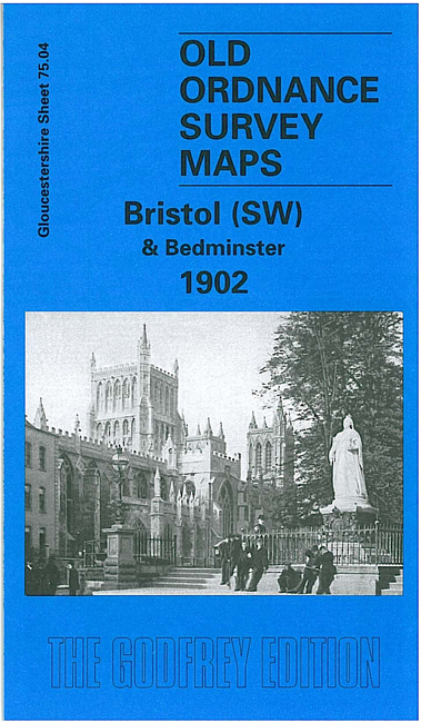
The maps cover a very busy area of Bristol, including part of the city centre and much of Bedminster. Coverage stretches from Bedminster Park eastward to Bedminster Bridge and St Mary Redcliff church, and from College Green and the Cathedral southward to Pearl Street and Windmill Hill. Major features include tramways, Queen Square, Canon's Marsh, Floating Harbour, River Avon, Bathurst Basin, Royal Hotel, Bathurst Wharf, Prince's Wharf, Great Western Dockyard, gas works, Cumberland Basin, Clifton Wood, Mardyke, Merchants Dock, Hotwells, GWR Harbour Railway. South of the river features include Ashton Gate, Clift House Hospital, Virgina Cavendish Works, tobacco factory, tannery, St John the Baptist church, Deanlane Colliery, tram depot, St Paul's church, small stretch of GWR with Bedminster station, much of Bedminster, etc. On the reverse we include a selection of street directory entries, incl Bedminster Parade, Dowry Parade and Square, East Street, King Street, Redcliff Hill and Street, Stackpool Road, Welsh Back, Whitehouse Street.
Each map includes a specially written introduction to the history of the area, together with extracts from an early street directory..
The map links up with sheets 71.16 Bristol NW to the north, 75.03 Ashton Court to the west, 75.08 Bedminster Down to the south, and 76.01 Bristol SE to the east.
Maps in the Godfrey Edition are taken from the 25 inch to the mile map and reduced to about 15 inches to the mile. For a full list of maps for England, return to the England page.
Alan Godfrey Maps, Prospect Business Park, Leadgate, Consett, Co Durham, DH8 7PW / sales@alangodfreymaps.co.uk / 6 September 2019