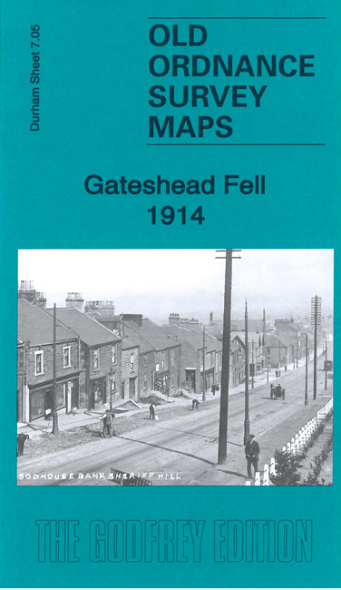
 Here are the details of maps for Gateshead Fell:
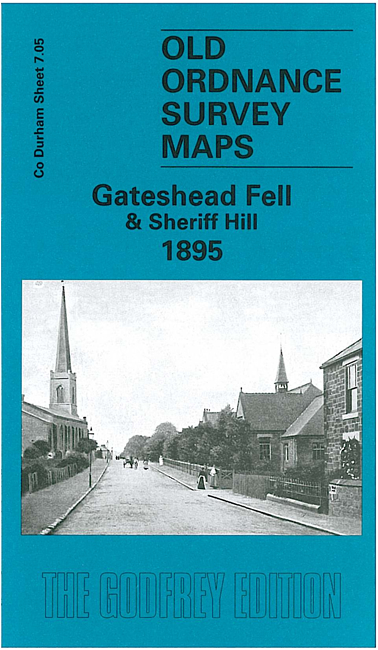
 For publication 16th Feb
We have published two versions of this map, showing how the area changed across the years.
The maps cover the Gateshead Fell area, south of Gateshead and east of Low Fell. The 'Old Durham Road', Sodhouse Bank runs through the map. Coverage stretches from St Albans church at Windy Nook southward to Mossheap Quarries and the disused Sheriff Hill Colliery. Stretches of the Team Colliery Wagonway and Ouston & Pelaw Wagonway are shown. Other features include Beacon Lough, Church Quarry, Windynook Quarries, Gateshead High Fell with St John's church, the eastern part of Kells Lane, Greenwell House, Heworth Windmill, White Hill, Black Hill. Old Upper Heworth Colliery is in the NE corner.
The map links up with Tyneside 24 Felling to the north, Co Durham 6.08 Low Fell to the west, 7.09 Wrekenton to the south.
Maps in the Godfrey Edition are taken from the 25 inch to the mile map and reduced to about 15 inches to the mile. For a full list of maps for England, return to the England page.
Alan Godfrey Maps, Prospect Business Park, Leadgate, Consett, Co Durham, DH8 7PW / sales@alangodfreymaps.co.uk / 8 Feb 2021