Old Ordnance Survey Maps of Yorkshire

  • These detailed maps normally cover an area of about one and a half miles by one mile. Each map includes an introduction.
  • They are available through our On-line Mapshop

  • Here are the details of maps for Bawtry:

  • Yorkshire Sheet 291.12 Bawtry 1901 - published 2026; intro by Alan Godfrey. ISBN.978-1-78721-931-1

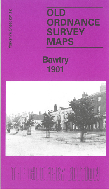
    This map covers the small town of Bawtry, just south of Doncaster and at the southern edge of Yorkshire.

    Features include town centre with individual buildings shown, St Nicholas church, railway with southern edge of Bawtry station, River Idle, chapels, Bawtry Hall, Town Hall, High Street, St Mary Magdalene church, Bawtry Bridge etc.

    On the reverse we include a large extract of the 1st edition six-inch map of 1850, covering Bawtry and Austerfield.


    For other information and prices, and other areas, go to The Index Page.
  • Maps in the Godfrey Edition are taken from the 25 inch to the mile map and reduced to about 15 inches to the mile. Follow this link for a complete list of our Doncaster maps; or here for the whole Yorkshire series.
    Alan Godfrey Maps, Prospect Business Park, Leadgate, Consett, Co Durham, DH8 7PW / sales@alangodfreymaps.co.uk / 2 January 2026