Old Ordnance Survey Maps of Yorkshire

  • These detailed maps normally cover an area of about one and a half miles by one mile. Each map includes an introduction.
  • They are available through our On-line Mapshop

  • Here are the details of maps for Conisbrough:

  • Yorkshire Sheet 284.10a Conisbrough 1901 - published 1985, 2nd Edition 2001; intro by Alan Godfrey. currently out of print
  • Yorkshire Sheet 284.10b Conisbrough 1928 - published 2025; intro by Alan Godfrey. ISBN.978-1-78721-926-7

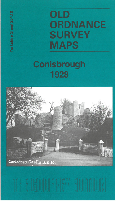
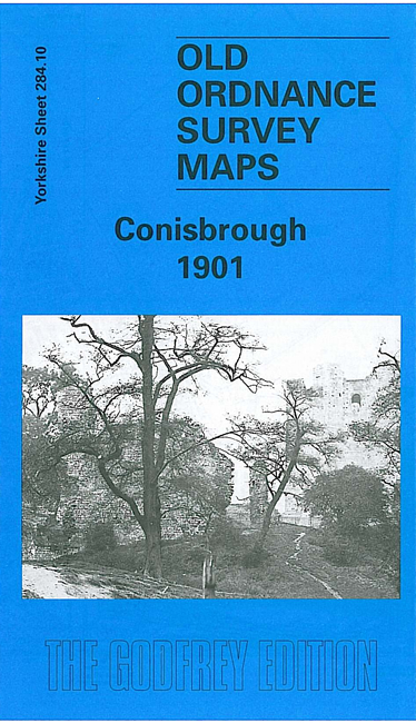
    These detailed maps cover the historic town of Conisbrough with its great castle, which inspired Walter Scott's novel Ivanhoe.

    Most of the town is covered, including the castle itself, and other features include St Peter's church, railway with Conisbrough station, Burcroft, King's Ferry, Cadeby Main Colliery, NER Denaby Branch, Dearne Valley Railway, Denaby Main village (plus E end of colliery), All Saints church, Fullerton Hospital, Conanby, Providence Glass works etc. We also include a dirctory of Conisbrough in 1936 together with a specially written introduction to the area's history.


    This map links up with sheet 284.09 Mexborough to the west.


  • For other information and prices, and other areas, go to The Index Page.
  • Maps in the Godfrey Edition are taken from the 25 inch to the mile map and reduced to about 15 inches to the mile. Follow this link for a complete list of our Doncaster maps; or here for the whole Yorkshire series.
    Alan Godfrey Maps, Prospect Business Park, Leadgate, Consett, Co Durham, DH8 7PW / sales@alangodfreymaps.co.uk / 7 November 2025