
 Here are the details of maps for Askern:

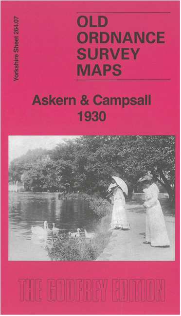
This map of Askern and Campsall is double-sided for maximum coverage. It is notable for showing Askern as a colliery village but still with many features from its time as a spa.
The main map covers the spa village of Askern and extends westward to Campsall. Features in Askern include St Peter's church, LMSR Askern Branch with station, Askern Lake, sulphur baths, Spa Well, Askern Main colliery, railway with colliery sidings, Instoneville, Swan Hotel, Manor House, White Hart Hotel, etc. Features in Campsall include Campsall Hall, Campsall Park, St Mary Magdalene's church, etc.
On the reverse we include part of adjacent sheet 264.7 to include Campsmount and Campsmount Park. We also include a specially written history of the area.