We have very good coverage for Kirklees Metropolitan Borough, which was formed in 1974 from the Dewsbury and Huddersfield County Boroughs, Batley and Spenborough Municipal Boroughs, and Colne Valley, Denby Dale, Heckmondwike, Holmfirth, Kirkburton, Meltham and Mirfield Urban Districts.
The following titles are all taken from the OS 25" maps and reduced to a scale of approximately 14 inches to the mile. Each covers an area of a mile and a half by one mile, and includes an introduction. Click on the links below for further details. All maps are available from our On-line Mapshop.
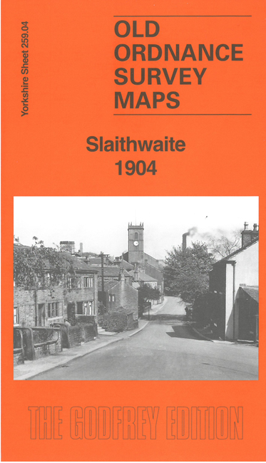 Here are the details of maps for Slaithwaite:

This detailed map covers the village of Slaithwaite, west of Huddersfield, in the SE corner of the map, and includes the countryside westward to Merry Dale and north to Highfield.
Features include LNWR railway with station, Hill Top, Crimble Mills, Town Hall, St James Church, Globe Mills, Bridge Street Mills, Clough Road Mills, Bank Gate Mill, Slaithwaite Reservoir, Clough House Mills, Ainley Place, Wilber Lee, Meal Hill, etc.
On the reverse we include an 1889 directory of Slaithwaite together with a specially written introduction.
The map links up with sheet 260.01 Linthwaite to the east.