
 Here are the details of maps for Normanton:

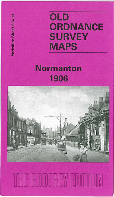
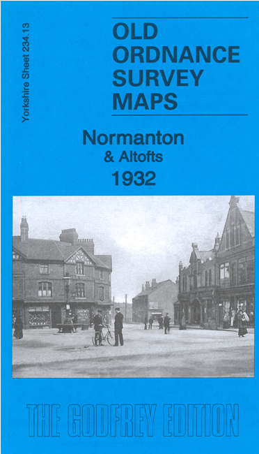
We have published two versions of this map, showing how the area changed across the years.
The maps cover the former railway town of Normanton, together with part of the village of Altofts. The coming of the railway turned Normanton from an agricultural village into an industrial town; the town became an early railway junction, and until the 1890s (and the introduction of corridor trains) Anglo-Scottish trains stopped here for a half hour meal break. The railway runs through this map and, not surprisingly, the station and its surrounding marshalling yards are a major feature. Beside it is the town of Normanton, including All Saints church, gas works, Mount Pleasant, Hall Croft, Market Place, High Street, tramway, Haw Hill Park, smallpox hospital, Hanson House, cemetery; coverage extends east to Benson Lane. West of the railway are Altofts Hall and part of Altofts itself including St Mary's church, cemetery, Lockes Row, Ship Inn.