Old Ordnance Survey Maps of Yorkshire
These detailed maps normally cover an area of about one and a half miles by one mile. Each map includes an introduction.
They are available through our On-line Mapshop
 Here are the details of maps for York NW:
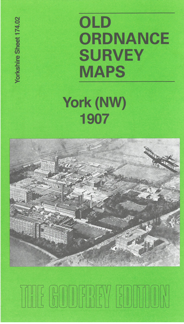
Yorks Sheet 174.02 York (NW) 1907 - published 2025; intro by Alan Godfrey. ISBN.978-1-78721-880-2 
This detailed map is dominated by the large Rowntree's factory with its railway network and the streets around it, including White Cross and Yearsley Baths.
The map is double-sided for maximum coverage, and extends west to the North Riding Lunatic Asylum.
The map links up with Yorkshire Sheet 174.06 City of York to the south.
For other information and prices, and other areas, go to The Index Page.
Maps in the Godfrey Edition are taken from the 25 inch to the mile map and reduced to about 15 inches to the mile.
Follow this link for a complete list of our City of York maps; or here for the
whole Yorkshire series.
Alan Godfrey Maps, Prospect Business Park, Leadgate, Consett, Co Durham, DH8 7PW / sales@alangodfreymaps.co.uk / 27 June 2025
 Here are the details of maps for York NW: