Old Ordnance Survey Maps of York


  • For the central area of York we are issuing some highly detailed large scale plans. Originally published at a scale of 1:1056 or 5 feet to the mile, we reduce them in scale to 1:1760 or a Yard to the Mile. The maps, though covering quite a small area, are very detailed, even including the interiors of some public buildings, such as churches. For the urban historian they are perhaps the most fascinating maps ever published by the Ordnance Survey.
  • Each map includes a specially written introduction to the area. Maps can be purchased on our On-line Mapshop where further information about titles is given.

  • Here are the details of the large scale plan for York Micklegate:

  • York 11 York: Micklegate & the Station 1851 - published 2025; intro by Alan Godfrey. ISBN.978-1-78721-877-2

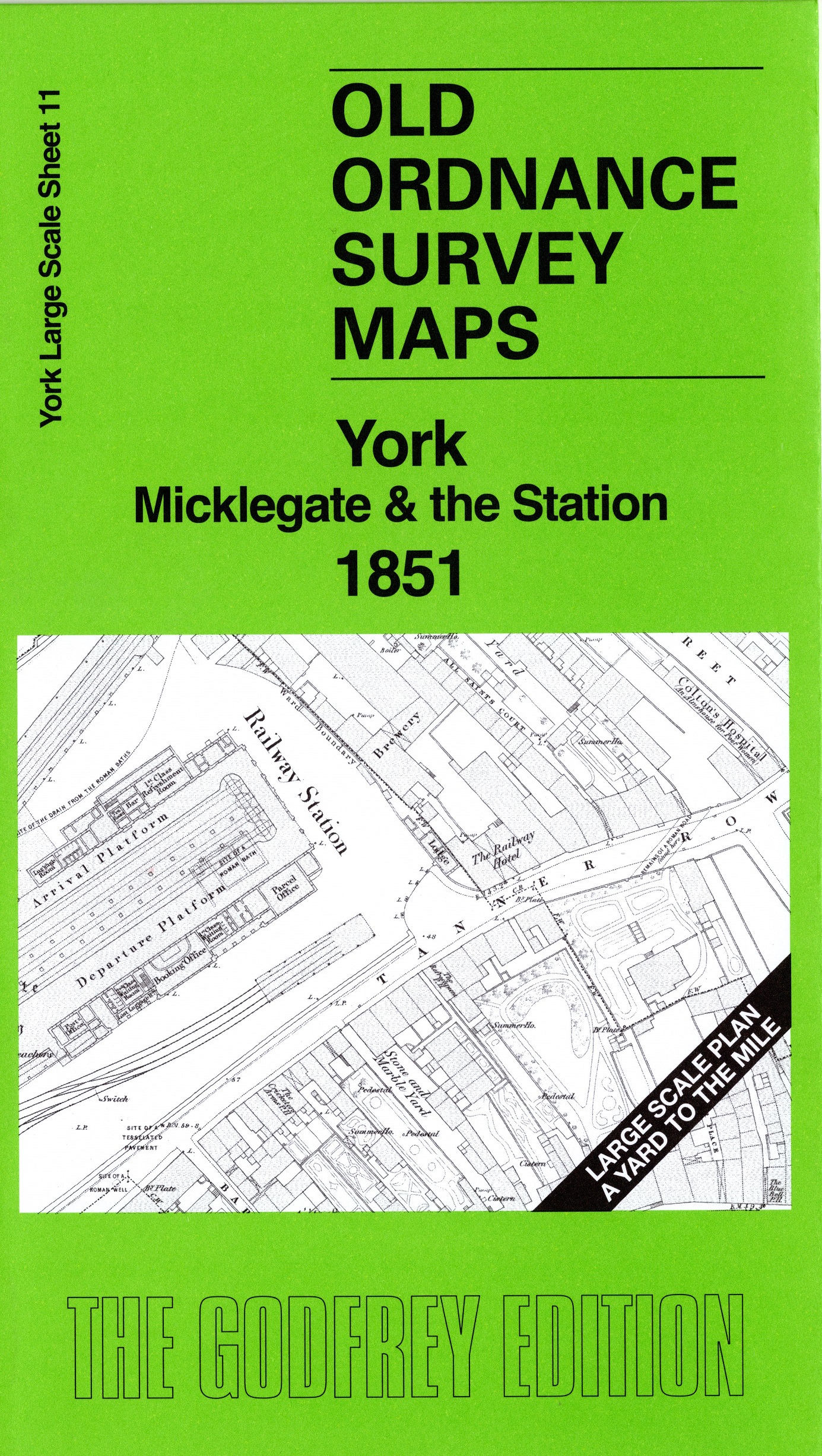
    This wonderfully detailed map covers the area around Micklegate, including old station, railway approaches and engine sheds, Blossom Street, City Wall, Micklegate Bar, Trinity Church,Barstow's Hospital, St Mary's Convent, St Martin's church, St Mary's church, Victoria Bar etc.

    On the reverse we include a 1:500 plan covering the old station and much of the new station in 1889, together with a 2,000 word introduction to the history of the area.


  • Follow this link for a complete list of our Wakefield Series maps. For other information and prices, and other areas, go to The Index Page.
  • This map is taken from the OS 5 foot plan map and reduced to a scale of A Yard to the Mile. For a full list of maps for England, return to the England page.
    Alan Godfrey Maps, Prospect Business Park, Leadgate, Consett, Co Durham, DH8 7PW / sales@alangodfreymaps.co.uk / 17th September 2024