Old Ordnance Survey Maps of York


  • For the central area of York we are issuing some highly detailed large scale plans. Originally published at a scale of 1:1056 or 5 feet to the mile, we reduce them in scale to 1:1760 or a Yard to the Mile. The maps, though covering quite a small area, are very detailed, even including the interiors of some public buildings, such as churches. For the urban historian they are perhaps the most fascinating maps ever published by the Ordnance Survey.
  • Each map includes a specially written introduction to the area. Maps can be purchased on our On-line Mapshop where further information about titles is given.

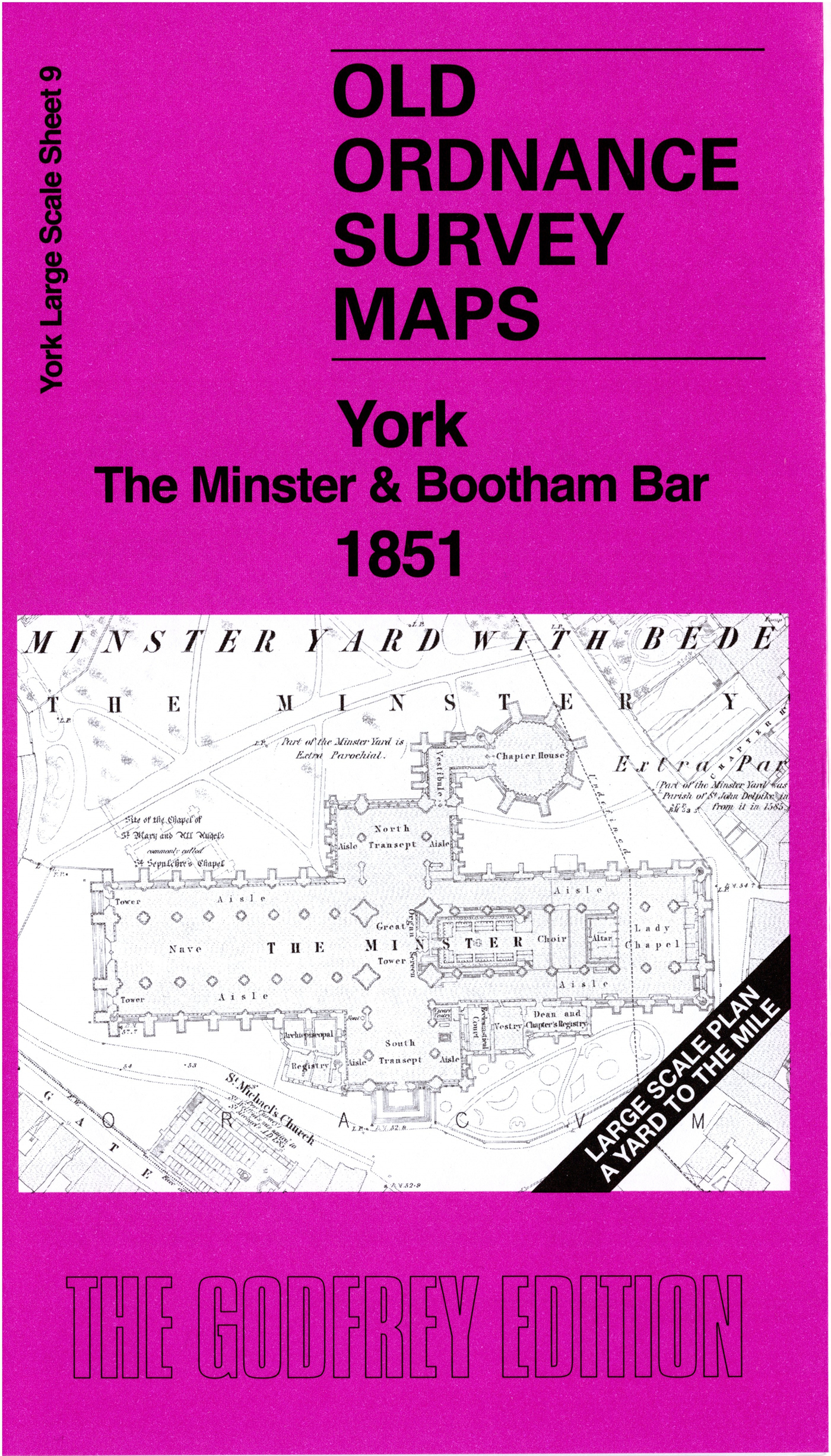
  • Here are the details of the large scale plan for York Minster:

  • York 09 York: The Minster & Bootham Bar 1851 - published 2025; intro by Alan Godfrey. ISBN.978-1-78721-898-7

    This wonderfully detailed map covers the northern part of the city centre.

    Features include the Minster, Bootham Bar, Monk Bar, Layerthorpe Bridge, Theatre Royal, Assembly Rooms, St Anthony's Hall, City Walls, St Cuthbert's church, Trinity Church, St Maurice's church, County Hospital, St Michael le Belfry church, and much more.

    On the reverse we include a 1:500 plan covering Museum Street, Stonegate and the west part of the Minster in 1889, together with a 2,000 word introduction to the history of the area.

    The map links up with sheet 8 York Marygate to the west.


  • Follow this link for a complete list of our Wakefield Series maps. For other information and prices, and other areas, go to The Index Page.
  • This map is taken from the OS 5 foot plan map and reduced to a scale of A Yard to the Mile. For a full list of maps for England, return to the England page.
    Alan Godfrey Maps, Prospect Business Park, Leadgate, Consett, Co Durham, DH8 7PW / sales@alangodfreymaps.co.uk / 7 August 2025