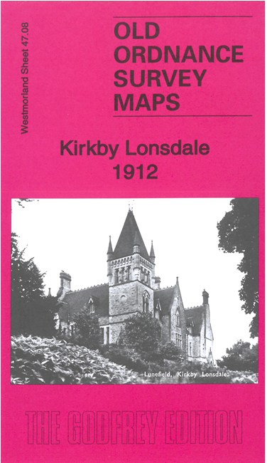
 Here are the details of maps for Kirkby Lonsdale:

This detailed map of Kirkby Lonsdale and Casterton is double-sided for maximum coverage.
The main map givs good coverage of the town and the area to the north. Coverage stretches from the Market Square and Grammar School northward to Kearstwick. Features include St Mary's church, Market Square, town centre shown in detail with individual buildings neatly shown, Mill Ayre, Royal Hotel, Lunefield, Underley Park, Abbot Hall, Casterton Hall, Kirfit Hall, etc (note that Devil's Bridge is just off the map)
On the reverse we include a section of adjacent sheet 48.05 extending coverage eastward to include Casterton village, Old Hall, Clergy Daughters' School, Holy Trinity church, High Casterton.