
 Here are the details of maps for Windermere:

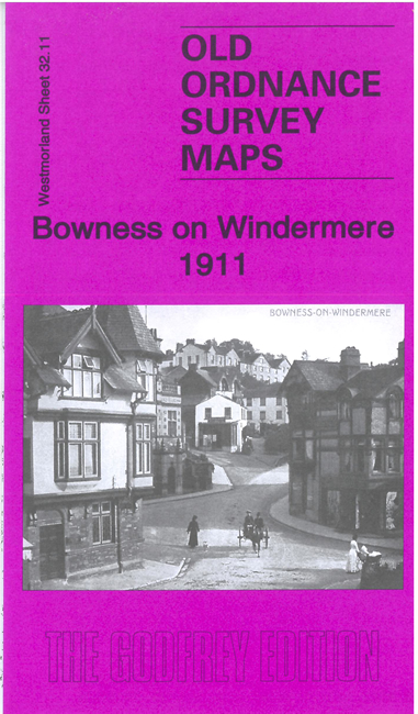
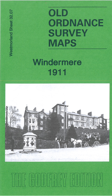
We have published a pair of maps for Bowness and Windermere. Both are double-sided for maximum coverage. They link up with each other to provide good coverage of both towns.
Features on 32.07 include railway station, Windermere Hotel, Orrest Head, Elleray, Oakland, Elleray Wood, town centre, Oldfield Works, The Old College, St Mary's church, Hazelthwaite, The Abbey, Birthwaite Golf Course, Hammerbank, many other detached houses, Queen Adelaide's Hill, High Millerground, Rayrigg Hall, boat houses, Belle Grange, Fleming Wood, Bass Rock etc
Features on 32.11 include Bowness town centre with individual buildings neatly shown, St Martin's church, Belsfield Hotel, Crown Hotel, Old England Hotel, Hydropathic Hotel, Fallbarrow, The Craig, St John's church, Heathwaite, Queen's Park, Grammar School, boathouses and landing stages, Bowness Bay, Hen Holme, Lady Holme, Rough Holme, much of Belle Isle, Lilies of the Valley, Thompson's Holme, Haws Holme, with coverage across the Lake to the Lancashire shore incl Bass Howe and Waterloo Gardens.