Old Ordnance Survey Maps of Birmingham

  • These detailed maps normally cover an area of about one and a half miles by one mile. Each map includes an introduction.
  • They are available through our On-line Mapshop

  • Here are the details of maps for Solihull:

  • Warwicks Sheet 19.12 Solihull 1902 - published 2024; intro by Barrie Trinder. ISBN.978-1-78721-792-8

    This highly detailed map is double-sided for maximum coverage and includes a specially written introduction to the history of the area.

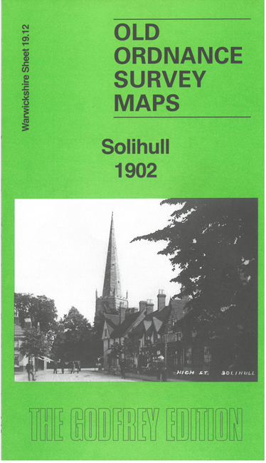
    The main map covers the southern half of the town, where features include Hillfield Hall, St Alphege's church, Malvern Hall and Malvern Park, High Street, Tudor Grange, Blossomfield, Fowgay Hall etc.

    On the reverse we include part of adjacent sheet 19.08 to show the northern half of the town. Features here include Lode Heath, Solihull Union Workhouse, Grammar School, Solihull Hall, Solihull station.


  • For a full list of maps of Warwickshire, please go to the Birmingham page or (for areas outside Birmingham) to the Warwickshire page. For other information and prices, and other areas, go to The Index Page.
  • Maps in the Godfrey Edition are taken from the 25 inch to the mile map and reduced to about 15 inches to the mile. For a full list of maps for England, return to the England page.
    Alan Godfrey Maps, Prospect Business Park, Leadgate, Consett, Co Durham, DH8 7PW / sales@alangodfreymaps.co.uk / 16 October 2024