Old Ordnance Survey Maps of Tyneside
These detailed maps normally cover an area of about one and a half miles by one mile. Each map includes an introduction.
They are available through our On-line Mapshop
 Here are the details of maps for Mouth of the Tyne:
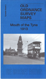
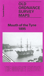
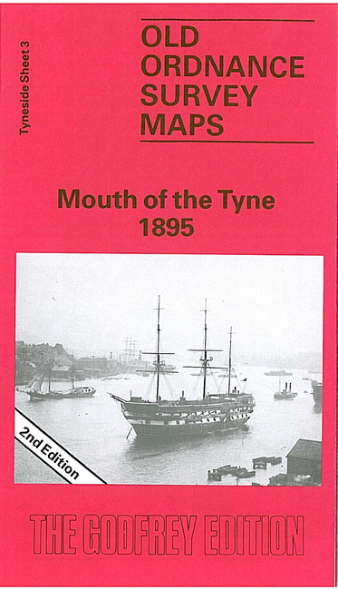
Tyneside Sheet 3a Mouth of the Tyne 1895 - published 1984; intro by Eric Hollerton. ISBN.978-0-85054-340-7  Tyneside Sheet 3b Mouth of the Tyne 1913 - published 2016; intro by Anthea Lang. ISBN.978-1-78721-024-0
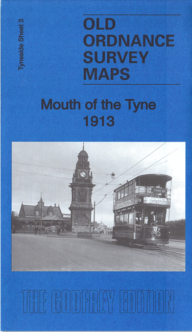
We have published two versions of this map, showing how the area changed across the years. It covers important areas of North Shields, South Shields, and Tynemlouth.
Coverage starts at Collingwood's Monument in the north and continues to Marine Park in the south. Westward, the coverage
extends to Camden Street and Upper Norfolk Street.
Features on the maps include (on the S side of the river), St Stephen's church, Roman Park, North Marine Park, Commissioners Staiths, Groyne Lighthouse, much of South Pier,
Olympia Skating Rink, St Aidan's church, coastguard station, tramway terminus,railways onto pier etc. And (on the N side of the river),
Collingwood's Monument, High and Low Lighthouses, ferry landing stage, Marlet Place, Dockwray Square, stretches of tramway and railway, Clifford's Fort,
Low Lights area, etc.
We include various directory extracts on the reverse.
This map links up with Tyneside Sheet 1 Tynemouth to the North, Tyneside Sheet 2 North Shields & Chirton to the West, Tyneside Sheet 9 South Shields to the South.
Follow this link for a complete list of our North East maps.
You can order maps direct from our On-line Mapshop.
For other information and prices, and other areas, go to The Index Page.
Maps in the Godfrey Edition are taken from the 25 inch to the mile map and reduced to about 15 inches to the mile.
For a full list of maps for the North East, return to the North East page.
The Godfrey Edition / sales@alangodfreymaps.co.uk / 17 December 2016
 Here are the details of maps for Mouth of the Tyne: