
 Here are the details of the maps for Portslade by Sea:

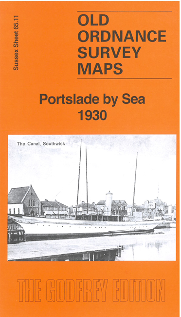
This detailed map gives good coverage of Portslade by Sea and also parts of Southwick and Aldrington.
Features include Shoreham Harbour (East Arm and Canal), wharves, ferries and landing stages, gas works, power station, St Andrew's Church, cinema, St Leonard's Church Aldrington, flour mills, dyeing works, Fishergate, section of railway with Fishergate Halt and part of Southwick Station, Southwick Town Hall, Ship Inn, The Manor etc. (Note that the map does not include Portslade village.)
The map links up with sheet 65.07 Portslade Village to the north, 65.10 Kingston by Sea to the west and 65.12 Hove to the east.