Stockport Town Plans


  • This map is taken from the Ordnance Survey's highly detailed Five foot plans. Originally published at a scale of 1:1056 or 5 feet to the mile, we have reduced them in scale to 1:1760 or a Yard to the Mile. The maps, though covering quite a small area, are finely detailed, showing such features as capstans and mooring posts, lamp-posts, the layouts of back yards, and even the interior of certain buildings such as churches. For the urban historian they are perhaps the most fascinating maps ever published by the Ordnance Survey.
  • They are available through our On-line Mapshop

  • Here are the details of town plans for Stockport. The 3 maps link up with each other::

  • Stockport 05 Stockport (North) 1873-92 - published 2025; introduction by Chris E Makepeace. ISBN.978-1-78721-866-6
  • Stockport 08 Stockport Town Centre 1873 - published 2008; introduction by Chris E Makepeace. ISBN.978-1-84784-173-5
  • Stockport 11 Stockport (South) 1873-93 - published 2025; introduction by Chris E Makepeace. ISBN.978-1-78721-867-3

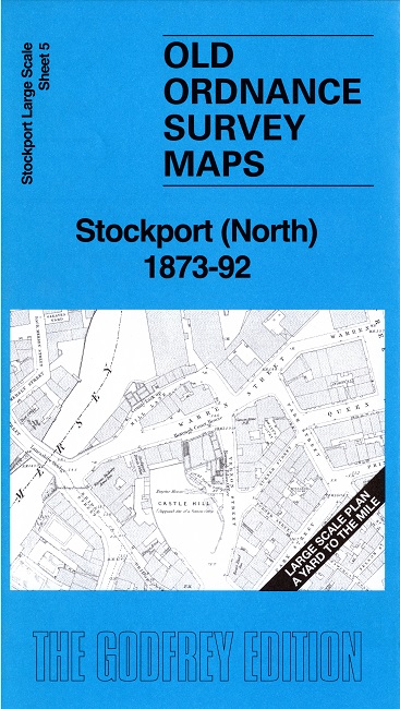
    Sheet 5 covers the north of the town including St Mary's church and Stockport Tiviot Dale station. Other features include River Mersey, Teviotdale Chapel, Hanover Chapel, Castle Hill, Mersey Mills, Grove Mills, New Bridge Lane Mills, Dean Mills, Park Mills, etc. On the reverse we include the 1892 version of the map, reduced in scale.

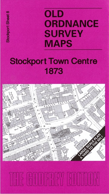
    Sheet 8 covers the central part of the town, including Stockport Edgeley station and St Peter's church. Other features include Wellington Mill, Mechanics Institute, Stockport Sunday School, many chapels, Wellington Bridge, etc. On the reverse we include a selection of 1888 street directory entries.

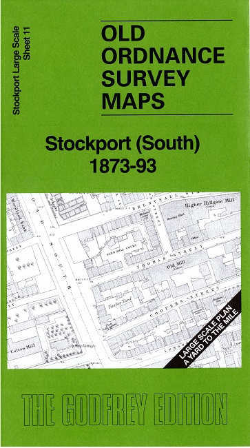
    Sheet 11 covers the southern part of the town, including St Thomas church and Stockport Union Workhouse. Other features include Shaw Heath, Stockport Volunteer Armoury, etc. On the reverse we include the 1893 version of the map, reduced in scale.


  • Follow this link for a complete list of our Stockport area maps. For other information and prices, and other areas, go to The Index Page.
  • Most maps in the Godfrey Edition are taken from the 25 inch to the mile map and reduced to about 15 inches to the mile. For a full list of maps for the North West, return to the North West page.
    The Godfrey Edition / sales@alangodfreymaps.co.uk / 30 May 2025