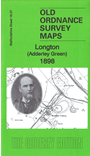
Staffordshire Sheet 18.07 Longton (Adderley Green) 1898 - published 2018; intro by Malcolm Nixon. ISBN.978-1-78721-137-7 
Part of our extensive coverage of The Potteries, this detailed map covers the eastern part of Longton, including Sandford Hill and Adderley Green.
Features include Sandford Hill area, Stanley Pottery, Adderley Green area, Mossfields Colliery, Adderley Green Colliery, Park Hall, North Staffordshire Railway (Longton, Adderley Green & Bucknall Branch),
Hulme Valley Branch, Adderley House, mineral tramways, etc
The map links up with sheets 18.06 Fenton to the west, 18.11Longton East to the south.
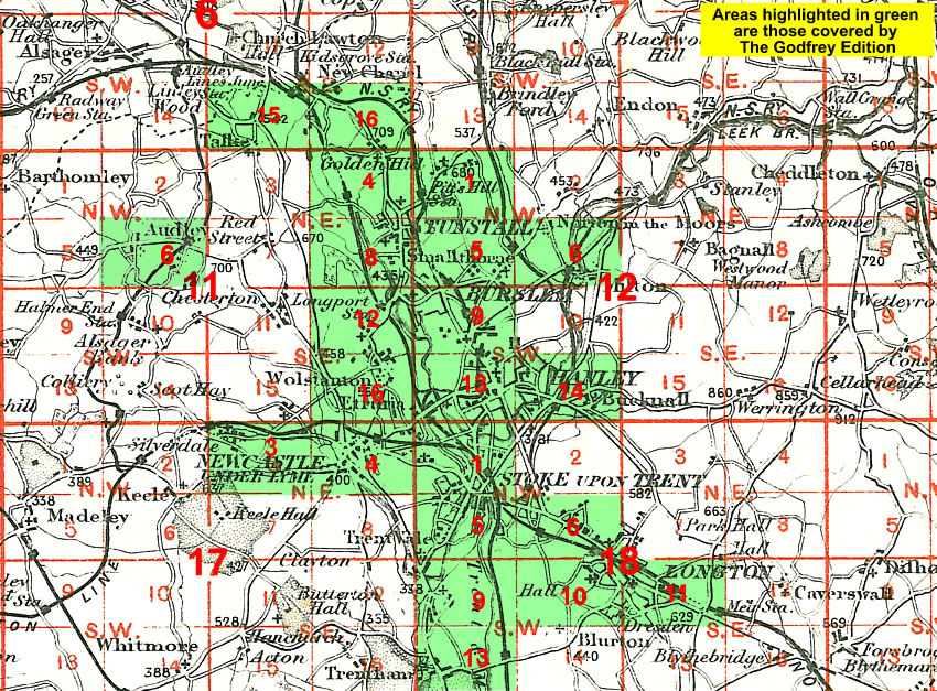
You might find this Index Map useful.
For a full list of maps of Staffordshire, please go to the Staffordshire page or the
Potteries page.
You can order maps direct from our On-line Mapshop.
For other information and prices, and other areas, go to The Index Page.
Maps in the Godfrey Edition are taken from the 25 inch to the mile map and reduced to about 15 inches to the mile.
For a full list of maps for England, return to the England page.
Alan Godfrey Maps, Prospect Business Park, Leadgate, Consett, Co Durham, DH8 7PW /
sales@alangodfreymaps.co.uk / 10 April 2018
 Here are the details of maps for Adderley Green: