Old Ordnance Survey Maps of Shropshire

  • These detailed maps normally cover an area of about one and a half miles by one mile. Each map includes an introduction.
  • They are available through our On-line Mapshop

  • Here are the details of maps for Wellington:

  • Shropshire Sheet 36.09a Wellington 1901 - published 1990; intro by Barrie Trinder. ISBN.978-0-85054-343-8
  • Shropshire Sheet 36.09b Wellington 1925 - published 2024; intro by Barrie Trinder. ISBN.978-1-78721-758-4

    We have published two versions of this map, showing how the area changed across the years.

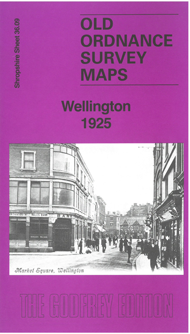
    The maps give very good coverage of the town. The railway line runs through the centre of the map, with the station in the middle. Features include All Saints' Church, Market Hall, Shropshire Works, Wellington College, St Patricks Church, Smithfield Cattle Market, Shropshire Brewery and Portland Cottage. Main streets on the map include Church Street, New Street, Cemetery Road, The Crescent and King Street. Each map includes extracts from a contemporary directory.


    This map links up with Shropshire Sheet 36.10 Hadley 1901 to the East


  • Follow this link for a complete list of our Shropshire or Telford maps. For other information and prices, and other areas, go to The Index Page.
  • Maps in the Godfrey Edition are taken from the 25 inch to the mile map and reduced to about 15 inches to the mile. For a full list of maps for England, return to the England page.
    The Godfrey Edition / sales@alangodfreymaps.co.uk / 9 May 2024