
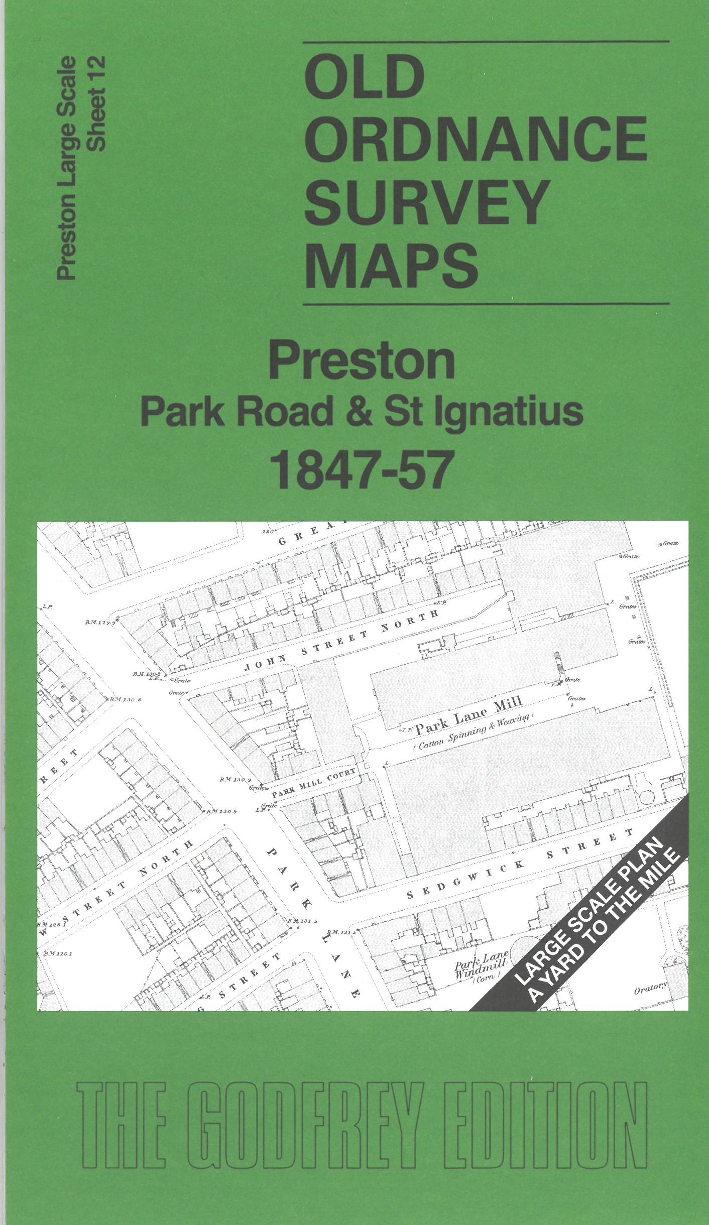
 Here are the details of maps for Preston NE:

This map covers a busy area of Preston in great detail. Features include St Ignatius RC Church, St Paul's Church, Wesley Chapel, Park Road area, chapels, Margaret Street Windmill, House of Recovery, Park Lane Mill, Park Lane Windmill, Hanover Street Mill, House of Correction, Court House, Longridge railway terminus, etc.
On the reverse we include 10 foot to the mile sheet 61.10.12 covering the area around St Ignatius Church in 1892, together with a 2,000 word introduction to the history of the area.
The map links up with sheet 17 Preston town centre to the south.