
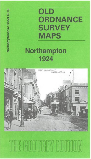
 Here are the details of maps for Northampton:
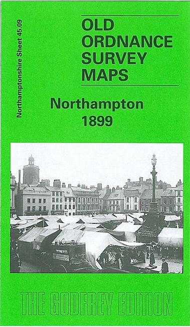

We have published two versions of this map, showing how the area changed across the years.
The maps cover most of central Northampton and also extend southward to Bridge Street station and St Leonards Road.
Features include the town centre with individual buildings neatly shown, tramways, LNWR railway with Castle station, Northampton & Peterborough Branch with Bridge Street station, Midland Railway with terminus, Grand Junction Canal, Cotton End area, River Nene, St James End area, St James church, Northampton Brewery, Phoenix Brewery, Cattle Market, All Saints church, Market Square, St Sepulchre's church, St Giles church, Infirmary, Vigo Brick Works, St Katharine's church, Albion Brewery, St Peter's church, County Hall, Castle Brewery, tanneries, boot factories, etc. We include directory extracts on the reverse together with a specially written introduction to the history of the area.
This map links up with Northants Sheet 45.05 Northampton (North) 1899