Old Ordnance Survey Maps of Norfolk

  • These detailed maps normally cover an area of about one and a half miles by one mile. Each map includes an introduction.
  • They are available through our On-line Mapshop

  • Here are the details of maps for Fakenham:

  • Norfolk Sheet 25.06 Fakenham & Hempton 1904 - published 2024; intro by Alan Godfrey. ISBN.978-1-78721-715-7

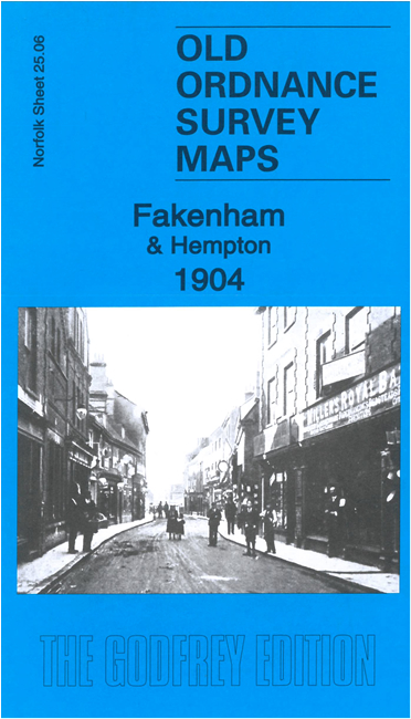
    This detailed map of Fakenham is double-sided for maximum coverage.

    The principal map covers the town centre and area to the west including Hempton. Features include St Peter & St Paul's church, Market Place, Corn Mill, Midland and Great Northern Railway with Fakenham Town station, Hempton, Holy Trinity church, Hempton Green, Abbey Farm, priory ruins, River Wensum, St Andrew's church remains, etc.

    On the reverse we include an extract from adjacent sheet 25.07 extending coverage east to include Baron's Hall, GER line with Fakenham station, The Heath, etc.


  • Follow this link for a complete list of our Norfolk or Suffolk map; or for a full list of maps for East Anglia, go to the East Anglia page.
  • Most maps in the Godfrey Edition are taken from the 25 inch to the mile map and reduced to about 15 inches to the mile. For other information and Prices, see Index Page.
    The Godfrey Edition / sales@alangodfreymaps.co.uk / 9 July 2024