Norfolk Sheet 08.03 Wells-next-the-Sea 1904 - published 2023; intro by Roger Arguile. ISBN.978-1-78721-600-6 
This detailed map of Wells-next-the-Sea is double-sided for maximum coverage.
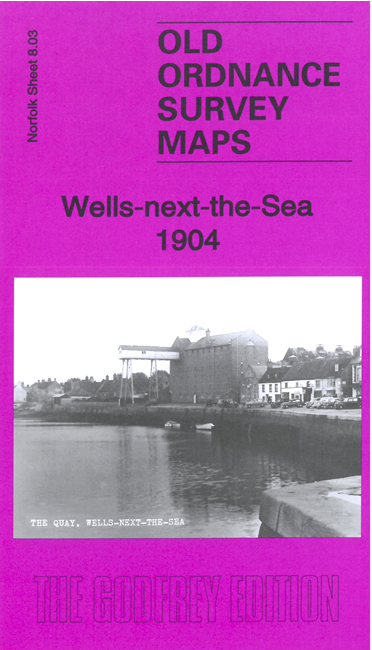
Most of the town is covered together with some of the creeks and channels that gave Wells its character as a port. Features include
station with railways, Harbour Branch, St Nicholas church, malthouses, The Buttlands, Church Marsh, harbour etc.
Follow this link for a complete list of our Norfolk or Suffolk map; or
for a full list of maps for East Anglia, go to the East Anglia page.
Most maps in the Godfrey Edition are taken from the 25 inch to the mile map and reduced to about 15 inches to the mile.
For other information and Prices, see Index Page.
The Godfrey Edition / sales@alangodfreymaps.co.uk / 10 January 2023

 Here are the details of maps for Wells-next-the-Sea: