Old Ordnance Survey Maps of Northumberland

  • These detailed maps normally cover an area of about one and a half miles by one mile. Each map includes an introduction.
  • They are available through our On-line Mapshop

  • Here are the details of maps for Kenton and Fawdon:

  • Northumberland Sheet 94.03 Kenton, Fawdon & Coxlodge 1941 - published 2026; introduction by John Griffiths. ISBN.978-1-78721-969-4

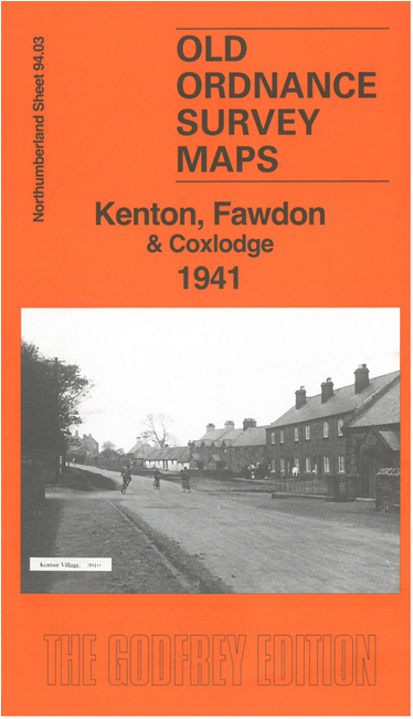
    This detailed map covers Kenton and Fawdon on the west side of Newcastle.

    A major feature is the Newcastle City Mental Hospital. Other features include Kenton Hall, Kenton Bar, the LNER Ponteland Branch with Coxlodge Station, Coxlodge Jubilee Pit, etc.

    On the reverse we include an extract from the 1894 six-inch map for the area, covering the area around Kenton and Fawdon Old Pit, together with a specially written history of Kenton and Fawdon by John Griffiths.

    The map links up with Tyneside sheet 30 Gosforth to the east.


  • Follow this link for a complete list of our Northumberland maps. For other information and prices, and other areas, go to The Index Page.
  • Maps in the Godfrey Edition are taken from the 25 inch to the mile map and reduced to about 15 inches to the mile. For a full list of maps for the North East, return to the North East page.
    The Godfrey Edition / sales@alangodfreymaps.co.uk / 26 June 2026