
 Here are the details of maps for Corbridge and Dilston:

This detailed map of Corbridge is double-sided for maximum coverage.
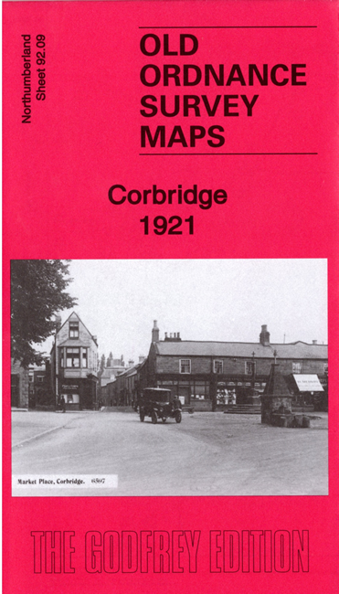
The main map covers the small town (or village) of Corbridge, with coverage extending westward to include the Roman station of Corstopitum. Features include the town centre with individual buildings neatly shown, St Andrew's church, Vicars Pele, Market Place, Corbridge Bridge, Byethorn, Monks Holme, The Chains, Charlote Straker Cottage Hospital, Orchard Vale, The Trinity, Corchester Towers, Corbridge Pottery, Corchester Fields, etc. Coverage extends west to Red House and Redhouse Haughs.
On the reverse we include a good section of adjacent sheet 92.13, extending coverage south to include railway with Corbridge station, Dilston, Dilston New Town, Dilston Castle, Dilston Hall, Earl's Bridge etc.
The map includes a specially written introduction to the history of the area by Alan Godfrey