Northumberland Sheet 64.13 Morpeth 1896 - published 1993, revised 2003; intro by Nicholas Baumfield. ISBN 978-0-85054-577-7
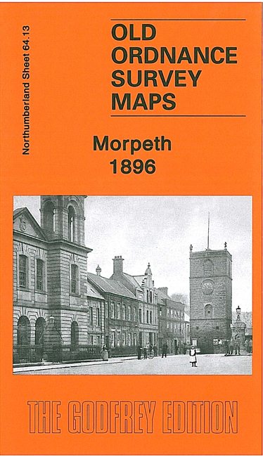
This detailed map covers the centre of Morpeth and an area stretching west to Abbey Mills, and from the Court House northward to the
County Lunatic Asylum. Features include Market Place, Bridge Street, Oldgate Street, Newgate Street, Northfield Lands,
High Stanners, Low Stanners, Workhouse, remains of Newminster Abbey, Pottery Bank, Castle Square. Part of the old race course is at the top of the map.
A directory of the town in 1894 is also included.
Follow this link for a complete list of our Northumberland maps.
You can order maps direct from our On-line Mapshop.
For other information and prices, and other areas, go to The Index Page.
Maps in the Godfrey Edition are taken from the 25 inch to the mile map and reduced to about 15 inches to the mile.
For a full list of maps for the North East, return to the North East page.
The Godfrey Edition / sales@alangodfreymaps.co.uk / 9 July 2021

 Here are the details of maps for Morpeth: