

 Here are the details of maps for Alnwick:

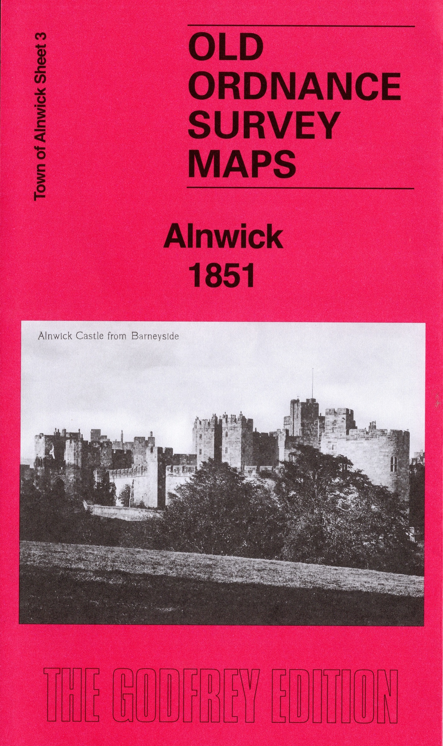
This unusual map is taken from the OS 'two-foot' scale map, published before the 1:2500 or 25" scale had been adopted. It was published for the new local authority, formed following a major cholera epidemic in the town. It shows remarkable detailing, including field names, and is quite different from the later OS maps.
Our map is double-sided to give maximum coverage and includes part of sheet 2 to the west. It covers the town centre where features include the castle, railway station, Market Place, St Mary's church, St Paul's church, Bondgate, Bailliff Gate. The area N of the river, outside the town, is left blank.
This map is taken from the more common 1:2500 or '25 inch' map. It is double-sided for maximum coverage and covers the town centre.
Features include the Castle, railway station, Workhouse, Market Place, St Paul's church, St Michael's church, castle grounds, etc. Covers extends northward to part of Denwick.