Lanarkshire Sheet 11.04 North Calder & Douglas Support 1896 - published 2010; intro by Gilbert Bell. ISBN.978-1-84784-390-6 
This detailed map covers covers a narea between Bothwell and Tannochside, largely rural but with some collieries. Features include Douglas Support, Muirpark Rows, Tannochside Colliery, North Calder Water, Rosehall Collieries, NBR mineral railways, Rosehall Bridge, Rosehall Railway.
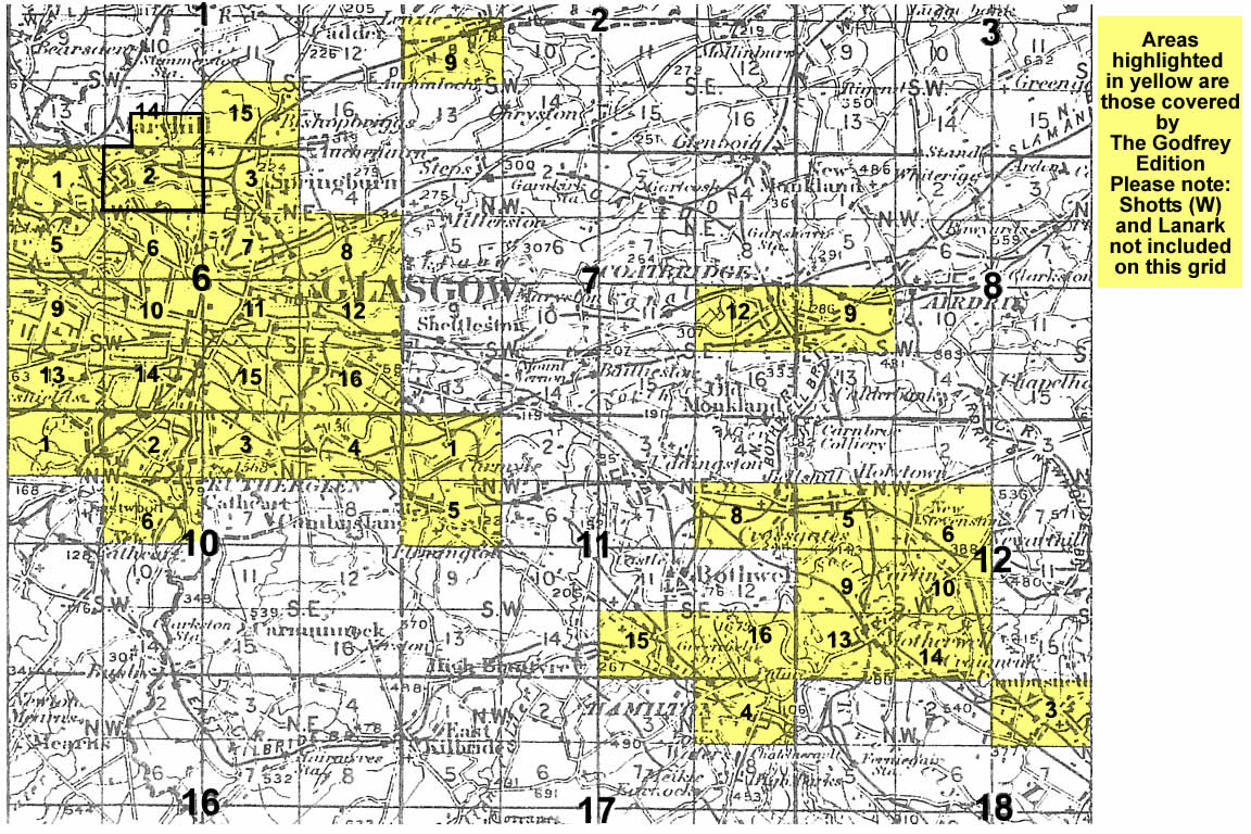
You might find this index map useful. The map links up with sheets 11.03 Tannochside to the west, 11.08 Belshill to the south.
Follow this link for a complete list of our Glasgow or Lanarkshire maps.
You can order maps direct from our On-line Mapshop.
For other information and prices, and other areas, go to The Index Page.
Maps in the Godfrey Edition are taken from the 25 inch to the mile map and reduced to about 15 inches to the mile.
For a full list of maps for Scotland, return to the Scotland page.
The Godfrey Edition / sales@alangodfreymaps.co.uk / 11 November 2016
 Here are the details of maps for Bothwell (N):