
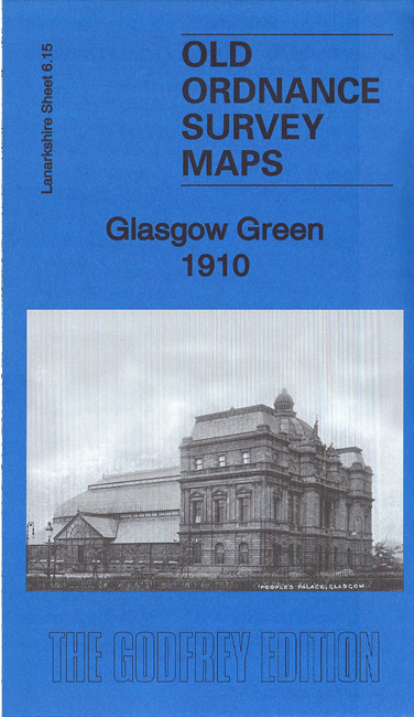
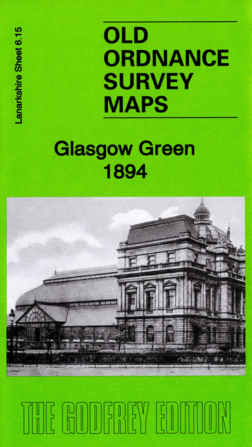
 Here are the details of maps for Glasgow Green:

We have published two versions of this map, showing how the area changed acrss the years.
The maps are centred on Glasgow Green but also include parts of the Gorbals, Hutcheson Town and Bridgeton. Gorbals Cross is in the top left corner and coverage stretches from here eastward to Baltic Street and Bridgeton station, and southward to Polmadie House and Arthur Street. The River Clyde winds through the map. Features include the Southern Necropolis, Hutcheson Square, Gorbals Ropeworks, Gushetfaulds Goods Yard, Springfield Print Works, Bridgeton Cross, Rutherglen Bridge Factory, Newhall Factory, gasworks, Barrowfield Park football ground, Dalmarnock Factory, Bridgeton and Bridgeton Cross stations, Brookside Factory, tramways, Govan Iron Works.
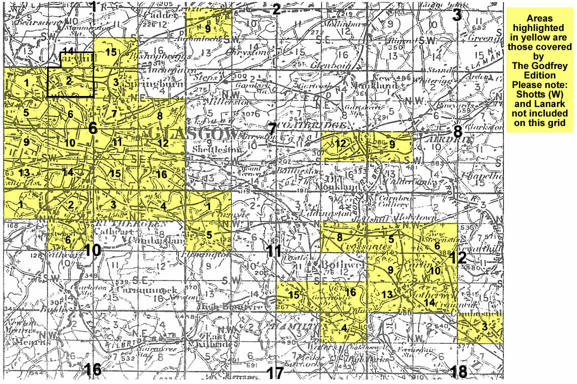
You might find this index map useful. The map links up with Sheets 6.11 Glasgow High Street to the north, 6.14 Pollokshields to the west, 6.16 Parkhead to the east and 10.03 Rutherglen West to the south.