

 Here are the details of maps for Warrington:

We have published two maps for Warrington, each with two versions, showing how the area changed across the years. The maps link up with each to provide excellent coverage of the town.
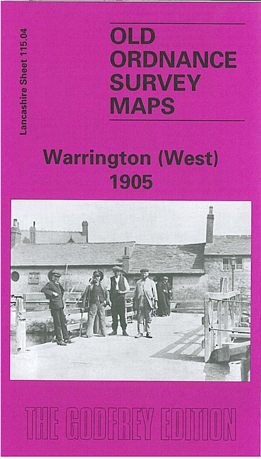
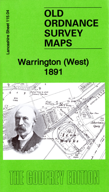
Sheet 115.04 covers the western part of Warrington in detail, with coverage extending westward to Sankey Bridges. Features include Bank Quay station, Bank Quay Cable Works, Bank Park, St Paul's church, Whitecross Works, Bank Quay Soap Works, Little Sankey Green, Workhouse, isolation hospital, Grange's Farm, Sankey Brook, Iron Works, Mersey Rivet Works, Mersey Tube Works, Sankey Hall, St Helen's Canal, Sankey Lodge, Sankey Wire Mills, Mersey White Lead Works, Gate Warth Farm etc.
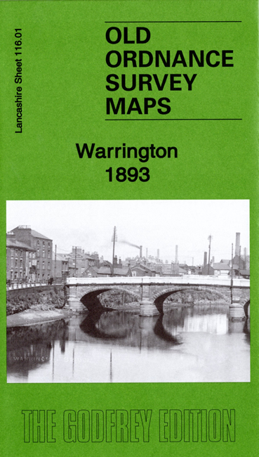
Sheet 116.01 covers the centre of Warrington, with coverage then extending eastward to the cemetery, and from Buckley Street southward to Black Bear Bridge at Latchford. Features include Warrington Bridge, River Mersey, Arpley station, tramways, St James church, football ground, Palatine Works, Raddon Court, Latchford Grange, Queen's Gardens, Castle Rubber Works, Victoria Park, stretch of Latchford Canal, Central station, General Market, Tanners Lane Tannery, Running Pump Tannery, Cockhedge Mills, Scotland Bank Works, Wire Works, St Elphin's church, Howley Tannery, Holmesfield Tannery, Mersey Mill, Fennel Street Tannery, Boteler Grammar School, St Katharine's chapel, Holy Trinity church, Buttermarket Street, Brewery etc.
Each map includes a specially written introduction to the history of the area by Alan Godfrey.