
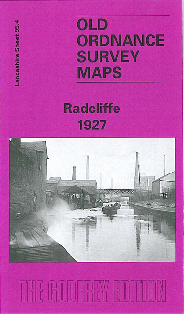
 Here are the details of maps for Radcliffe:
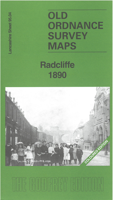


We have published two versions of this map, showing how Radcliffe changed over the years. The 1890 version is in full colour, taken from the lovely 1st edition handcoloured OS map.
The maps give very good coverage of the town. Coverage stretches from Cams Lane eastward to St Bartholomew's church, and from Cemetery Road southward to James Street.
The many features include Radcliffe Station, Radcliffe Bridge station, River Irwell, East Lancashire Paper Mill, Withins Lane Colliery, cotton mills, print works, Tower, Crow Oaks Works, New Jerusalem church, Pilkington area, Wellington Mills, Irwell Mill, St John's church, St Thomas's church, Sun Mills, Manchester Bolton & Bury Canal, Irwell Bleach & Dye Works, Allens Green Colliery, Peel Park Grounds, Smyrna Cricket Ground, Holly Bank Mills, etc.
On the reverse of the 1890 map we include an extract from an early six-inch map showing Radcliffe in the 1840s.
The map links up with Lancashire Sheets 87.16 Radcliffe North to the north, 95.03 Little Lever to the west, 96.01 Unsworth to the east and 95.08 Stand to the south.