
 Here are the details of maps for Calderbrook and Summit:

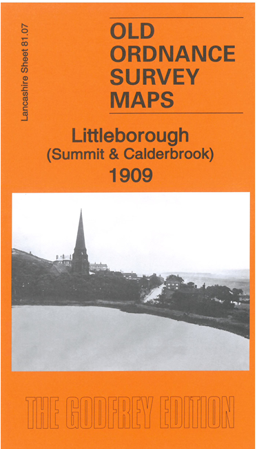
This detailed map covers the villages of Calderbrook and Summit, just NE of Littleborough. The map is double-sided for maximum coverage.
Features include railway with tunnel and Air Shafts, Rock Nook Mill, Green Vale Mill, Sladen Wool Mill, Summit Sanitary Ware Works, Stansfield Hall, Smithy Nook, Sally Street, Chelburn Reservoir, Rochdale Canal, Snoddle Hill, Summit Quarries, Wellfield Mill, Snoddle Hill Reservoir, Cow Head.
On the reverse we include a section of adjacent sheet 81.06, extended coverage further west. This includes St James church, Dye Works, Handle Hall, Long Hill, Blackbrow Hill etc.