Old Ordnance Survey Maps of Bury and Rochdale

  • These detailed maps normally cover an area of about one and a half miles by one mile. Each map includes an introduction.
  • They are available through our On-line Mapshop

  • Here are the details of maps for Holcombe Brook:

  • Lancashire Sheet 79.16 Holcombe Brook & Summerseat 1927 - published 2024; intro by Alan Godfrey. ISBN.978-1-78721-771-3

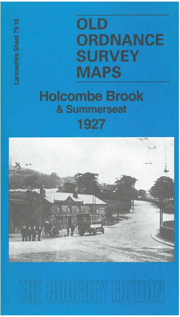
    This detailed map covers Holcombe Brook, Hazelhurst, and the area to the east including Nuttall and Lower Summerseat.

    Features include Holcombe Brook with railway terminus, Reddisher Bleach & Dye Works, Aitken Sanatorium, Hey House, Little Holcombe, Bank Mill, Holcombe Brook Mills, Hazelhurst, cemetery, Higher Summerseat, Summerseat House, Lower Summerseat, Brooksbottoms, Brooksbottoms Mill, Rowlands, railway with Summerseats station, Wesleyan church, Nuttall, Nuttall Mill, Ocean Chemical Works, etc

    The map links up with Lancashire Sheets 79.12 Ramsbottom to the north, 87.04 Tottington to the south.


  • Follow this link for a complete list of our Bury maps. For other information and prices, and other areas, go to The Index Page.
  • Maps in the Godfrey Edition are taken from the 25 inch to the mile map and reduced to about 15 inches to the mile. For a full list of maps for the North West, return to the North West page.
    The Godfrey Edition / sales@alangodfreymaps.co.uk / 16 August 2024