
Old Ordnance Survey Maps of Lancashire

  • These detailed maps normally cover an area of about one and a half miles by one mile. Each map includes an introduction.
  • They are available through our On-line Mapshop

  • Here are the details of maps for Fulwood:

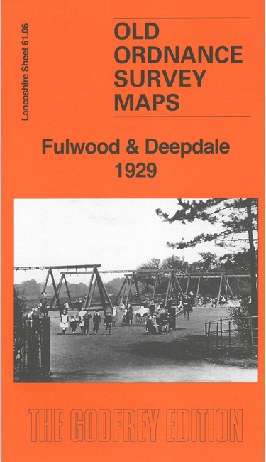
  • Lancashire Sheet 61.06 Fulwood & Deepdale 1929 - published 2026; intro by Alan Godfrey. ISBN.978-1-78721-994-6

    This detailed map covers Fulwood, Fulwood Park, Holme Slack and part of Deepdale on the north side of Preston.

    Features include Moor Park, Fulwood Park, Christ Church, Poor Law Institution, Hospital, St Vincent's Home, Open Air School, tramway, disused tramlines, Fulwood Barracks, site of Battle of Preston, Fulwood Hall, North End football ground, Holme Slack Brickworks, etc.

    On the reverse we include extracts from a 1913, together with a specially written introduction to the history of the area.

    The map links up with Sheet 61.10 Central Preston to the south.


    Follow this link for a list of our Lancashire maps. For other information and prices, and other areas, go to The Index Page.
  • Maps in the Godfrey Edition are taken from the 25 inch to the mile map and reduced to about 15 inches to the mile. For a full list of maps for the North West, return to the North West page.
    The Godfrey Edition / sales@alangodfreymaps.co.uk / 16 July 2026