 Here is information about Sheet 25:
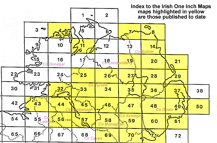
This Inch to the Mile map covers a broad area of NW Tyrone, with a small section of Co Donegal. Coverage stretches from Castlefinn eastward to Gortin and southward to Blacktown and Mulnavar.
Features include Lough Catherine, stretches of the Great Northern Railway and Donegal Light Railway, Slieveard, Curraghchosaly Mountain, Craigatuke, Bessy Bell, Castlederg & Victoria Bridge Tramway, Meenashesk. On the reverse we include two detailed town plans. One is for Castlederg, including station, Market Place, Court House, Main Street with individual buildings shown, Workhouse. The other is for Newtown Stewart, including Dublin Street and Main Street with individual buildings shown; Pigeon Hill, Newtownstewart Bridge, St Eugene's church, Brook House. Directories for Castlederg and Newtownstewart are also included.
It is not possible to list the many hamlets, farmsteads and other topographical features shown on these maps. However, you may find it useful if we list the towns and principal villages or church parishes that are included on this map. Links are given for those for which detailed large-scale maps are also available.