Inch to the Mile Maps of Ireland
These Old Ordnance Survey Maps normally cover an area of about 18 miles by 12 miles and are especially good at showing railways, roads and canals, and at giving
a broad view of a wider area. Each includes an introduction and a more detailed map of a small town or village.
They are available through our On-line Mapshop
 Here is information about Sheet 17:
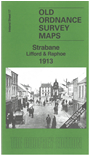
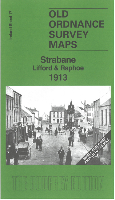
Ireland Sheet 17 Strabane, Lifford & Raphoe 1913 - published 2024; intro by Alan Godfrey. ISBN.978-1-78721-802-4
This Inch to the Mile map covers the area around and to the north of Strabane, including Lifford and Raphoe. Areas of counties Donegal, Londonderry and Tyrone are included.
We haver chosen this edition to give full coverage of the Donegal railways. On the reverse we include a more detailed six-inch map of Strabane.
The following villages are also included on the map:
Co Donegal: Ballindrait, Carrigans, Convoy, Manorcunningham, Saint Johnstown
Co Tyrone: Artigarvan, Ballymagorry, Dunnamanagh
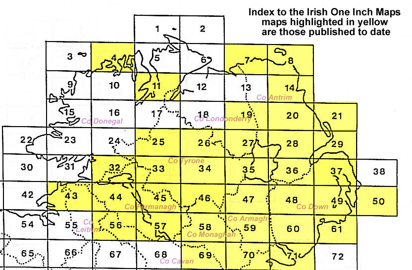
An index map is available showing the areas covered by the Inch to the Mile maps. Go to This Index Map.
For a full list of maps for One Inch maps for Ireland go to the Ireland Inch to the Mile page; or for other maps of Ireland visit the Ireland page.
For other information and prices, and other areas, go to The Index Page.
Alan Godfrey Maps, Prospect Business Park, Leadgate, Consett, Co Durham, DH8 7PW / sales@alangodfreymaps.co.uk / 30 August 2024
 Here is information about Sheet 17: