Old Ordnance Survey Maps of Suffolk

  • These detailed maps normally cover an area of about one and a half miles by one mile. Each map includes an introduction.
  • They are available through our On-line Mapshop

  • Here are the details of maps for Ipswich:

  • Suffolk Sheet 75.11 Ipswich 1902 - published 1998; introduction by Robert Malster. ISBN 978-0-85054-985-0
  • Suffolk Sheet 75.12 Ipswich (East) 1902 - published 1998; introduction by Robert Malster. ISBN 978-1-84151-016-3
  • Suffolk Sheet 75.15 Ipswich (SW) 1902 - published 1999; introduction by Robert Malster. ISBN 978-1-84151-120-7
  • Suffolk Sheet 75.16 Ipswich (SE) 1902 - published 1999; introduction by Robert Malster. ISBN 978-1-84151-036-1

    We have published a set of four maps for Ipswich, covering the town in detail. The maps link up with each other; here are brief details of each:


    The main Ipswich map covers much of the town centre. Coverage stretches from Hanford Hall and Hanford Bridge eastward to the Shire Hall and prison, and from Chevalier Street and Ivry Street southward to the Goods station and Stoke Bridge. This is a very busy map and features on it include New Cattle Market, St Matthew's church, St Clement's church, Butter Market, Commercial Road, St Peter's Wharf, River Orwell, St Mary at the Tower church, Lower Ramparts St Peter's church, Old Cattle Market, and countless other town centre streets. Part of the Wet Dock is in the SE corner. The directory on the back lists inhabitants A-G.

    The Ipswich (East) map takes coverage further east and includes the area known as California, which was clearly being developed at the time of the map. Features here include the Workhouse, Cauldwell Hall, St Helen's Street, Spring Road, Woodbridge Road,Foxhall Road, Holy Trinity church. The Borough Asylum and Derby Road station are both partly on, in the bottom margin (and continued on the SE map). The directory of private residents continues with entries G-R.

    Ipswich (SW) covers an area from the station and St Mary's church a mile south to Halifax Works and Stoke Park. Features include the the New Cut, Waterside Works, Stoke Hill, engine shed, Wherstead Road, Belstead Road. Included here is a large extract from the GER London-Norwich timetable of 1915.

    Ipswich (SE) completes the quartet and covers the SE map of the town, from Eagle Wharf and Ransome's Wharf eastward one and a half miles along the Felixstowe Road. Features include Cliff Brewery, Holywells, St Clements Shipyard. We complete the directory with entries R-Z.

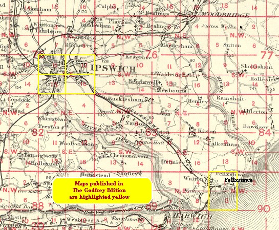
    You should find this index map useful. And for a complete list of our Suffolk maps follow this link.


  • Follow this link for a complete list of our Suffolk Series maps.
  • You can order maps direct from our On-line Mapshop. For other information and prices, and other areas, go to The Index Page.
  • Maps in the Godfrey Edition are taken from the 25 inch to the mile map and reduced to about 15 inches to the mile.
  • For a full list of maps for East Anglia, return to the East Anglia page.
    The Godfrey Edition / sales@alangodfreymaps.co.uk / 24 November 2017