
Old Ordnance Survey Maps of Huntingdonshire
We have a range of detailed maps for Huntingdonshire towns and we also cover the whole county at the Inch to the Mile scale. Here are the details.
All maps are available from our On-line Mapshop.
Since 1974 Huntingdonshire has been amalgamated with Cambridgeshire, the Isle of Ely and the Soke of Peterborough into one county of Cambridgeshire.
See This page for a summary of its local government history.
The following maps are all taken from the OS 25" maps and reduced to a scale of approximately 15 inches to the mile.
They are extremely detailed, showing individual houses, details such as railway tracks, pathways,
pubs, factories and even minutiae such as fountains and signal posts. Each map includes an introduction.
 These are the maps we publish for towns in Huntingdonshire:
10.16 Ramsey 1900 - published 2005; intro by David Cozens
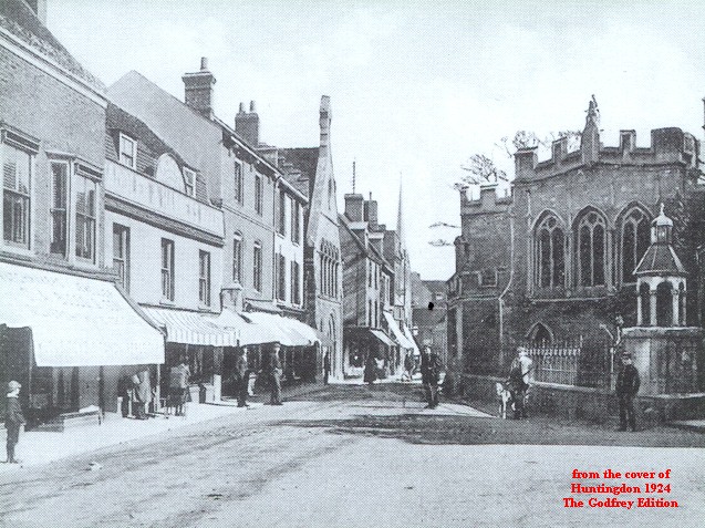
18.13 Huntingdon 1924 - published 2003; intro by Barrie Trinder
18.14 Huntingdon (East) 1924 - published 2004; intro by Barrie Trinder
22.02 Godmanchester 1924 - published 2003; intro by Barrie Trinder
We also cover Huntingdon in our Inch to the Mile series. Here are the principal maps:
172 North Huntingdonshire & Chatteris 1905 - published 2002; intro by David Cozens. Includes a map of Benwick
187 South Huntingdonshire 1897 - published 2001; intro by David Cozens. Includes a map of Hemingford Abbots
See the One Inch page for more details of this series.
 >Most maps in the Godfrey Edition are taken from the 25 inch to the mile map and reduced to about 15 inches to the mile.
For a full list of English maps, return to the England page
You can order maps direct from our On-line Mapshop. They are also available from various
local outlets.
>Most maps in the Godfrey Edition are taken from the 25 inch to the mile map and reduced to about 15 inches to the mile.
For a full list of English maps, return to the England page
You can order maps direct from our On-line Mapshop. They are also available from various
local outlets.
Alan Godfrey Maps, Prospect Business Park, Leadgate, Consett, DH8 7PW. Tel 01207 583388
The Godfrey Edition / sales@alangodfreymaps.co.uk / 14 January 2018
 These are the maps we publish for towns in Huntingdonshire: