 Here are the details of maps for Cheshunt:

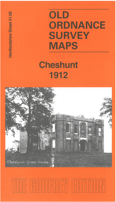
This detailed map gives excellent coverage of Cheshunt, from Cheshunt Great House eastward to the railway and station.
Features include the greenhouses of many nurseries, the area's major industry at the time; railway with station and Cheshunt Junction, Cheshunt Great House, Churchgate with Bishop's College and St Mary's Church, cemetery, Dewhurst School, site of Manor House, Council Offices, Court House, Public Library, Rolandsfields, main road and High Street northward to Cadmore Lane, Cheshunt Cottage etc.
On the reverse we include extracts from an 1895 directory of Cheshunt, together with an introduction by Barrie Trinder exploring the history of the town.
The map links up with Hertfordshire Sheet 41.12 Cheshunt to the south.