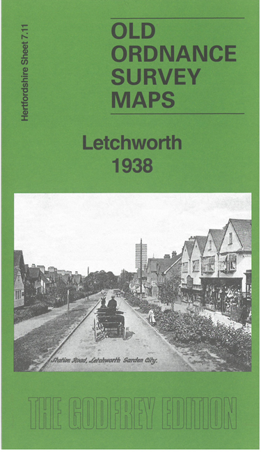
 Here are the details of maps for Letchworth:

This detailed map is double-sided for maximum coverage and gives very good coverage of Letchworth.
The main map gives very good coverage of the new town centre, from the Town Square and station eastward to the various industrial premises, including the Metal Works of George Cohen & Co. Other factories include printing, Embroidery, Machinery, Bookbinding, Cabinet, Rubber, Lawnmower and Margarine Works. Other features include the Howard Gardens, Howard Park, cinemas, St Michael's church, St Paul's church, hospital etc.
On the reverse we include part of adjacent sheet 7.10 which extends coverage west to show the Corset Works, Baby Carriage Works and St Francis College. There is also a specially written introduction by Barrie Trinder explaining the development of the New Town, and many of the factories that settled here.