
 Here are the details of maps for Stroud, Cainscross & Rodborough:

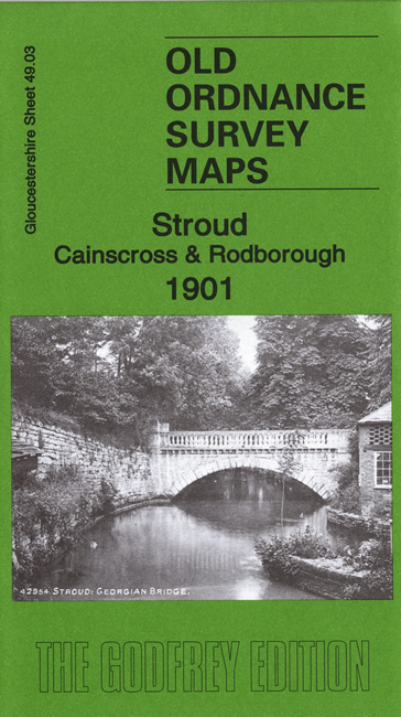
This detailed and busy map covers the south of Stroud and the area to the SW. Although the sheetlines are rather cruel to the town itself, there is much of interest, including 3 railway stations and numerous mills. The town centre is in the NE corner of the map including the High Street, The Cross, Rowcroft, George Street, GWR station, Wallbridge Basin, wharf, Lodgemore Mills, Fromehall Mills. St Lawrence's church is split by the top margin. Coverage then continues south to include Stroudwater Dye Works, Midland Railway station, Woodhouse, Tabernacle Walk, Rodborough Hill. Further west is the village of Rodborough, incl St Mary's church, The Butts, Rodborough Court, Lightpill, Stanfields, woollen mills; west of this is Dudbridge, with woollen mills, iron works, flour mills and Dudbridge Junction. In the NW corner of the map is the village of Cainscross, incl St Matthew's church, Cainscross House, brewery, Marling School. In the SW corner is the hamlet of Selsley, incl Stanley Park Farm. A directory of Stroud is included on the reverse.
Maps in the Godfrey Edition are taken from the 25 inch to the mile map and reduced to about 15 inches to the mile. For a full list of maps for England, return to the England page.
Alan Godfrey Maps, Prospect Business Park, Leadgate, Consett, Co Durham, DH8 7PW / sales@alangodfreymaps.co.uk / 15 May 2020