
 Here are the details of maps for Llantwit Major:

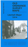
This very detailed map covers the historic village of Llantwit Major, described in the early 19th century as having "obvious indications of its original extent and importance [with] the appearance of a large dilapidated town". The map covers the village centre and coverage extends south to Ham House and Mill-Lay Common. Features include the station and railway, St Illtyd's church, Square, Church Street, castle ruins, Hillhead, and the ruins of Bishop's Palace and other buildings. The map is very detailed, showing individual buildings. On the reverse we include a 1906 directory of Llantwit Major, plus a GWR railway timetable for 1929.