Glamorgan 32.03 Oystermouth & Mumbles 1896 - published 2021; intro by Steph Mastoris. ISBN.978-1-78721-431-6
This busy and detailed map covers the Oystermouth and Mumbles area SW of Swansea.
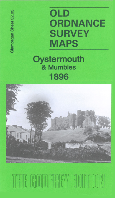
Features on the map include Oystermouth Castle, Swansea & Mumbles Railway, West Cross, Norton, Newton, Coltshill Quarries,
Callencroft Quarry, All Saints church, etc
We include extracts from a contemporary directory together with a specially written introduction
Follow this link for a complete list of our Glamorgan maps.
You can order maps direct from our On-line Mapshop.
For other information and prices, and other areas, go to The Index Page.
Maps in the Godfrey Edition are taken from the 25 inch to the mile map and reduced to about 15 inches to the mile.
For a full list of maps for Wales, return to the Wales page.
The Godfrey Edition / sales@alangodfreymaps.co.uk / 20 May 2021

 Here are the details of maps for Oystermouth: